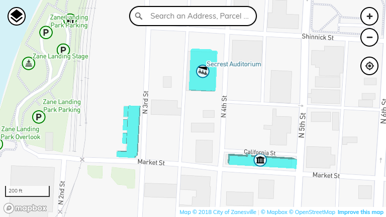
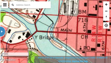
An interactive map for the City of Zanesville GIS data. This map shows points of interest, addresses, impervious surface, historic imagery and much more. If you have questions or issues with this map please contact the Engineer's Office.
Please Note: This map will not work with Internet Explorer.
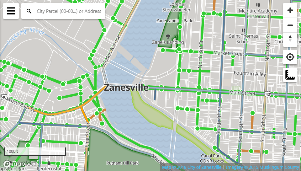
An interactive map of the storm and sanitary sewer network in the City of Zanesville. The storm network is not complete and should be considered draft. Please contact City of Zanesville Engineering for confirmation of sewer locations.
This map is publicly accessible but is meant for internal use and is not shown in the public map gallery.
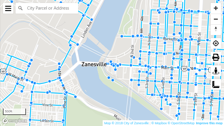
This application shows all of the public Zanesville GIS data on an interactive map. The site features an address and parcel search, measure tool, basic print functionality, and a custom layer control.
The layers in the sidebar are maintained by the City of Zanesville, Muskingum County, or other authoritative public sources. Mapbox provides the data for all other map layers.
Please note that parcels are updated on a monthly or bi-monthly basis.
For the latest tax information visit the Musking County Auditor's Website or the link in the popup menu.
This map is publicly accessible but is meant for internal use and is not shown in the public map gallery.
This page is for reference only. For all City of Zanesville public GIS maps please see the GIS Homepage.
